

Professional Surveying Services
Trico Surveying provides a complete range of surveying and mapping services designed to support pipeline development, infrastructure projects, and land development.
With more than 50 years of industry experience, our survey teams provide accurate field data and mapping deliverables that support every stage of a project.

Supporting pipeline development with route surveys, construction staking, and as-built documentation.
Pipeline Surveys
Accurate surveys for property boundaries, land development, and engineering projects.
Land & Boundary Surveys

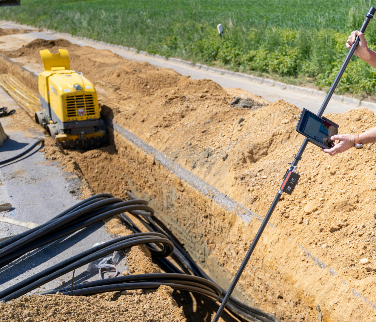
Identifying existing utilities and infrastructure to support safe project planning and construction.
Utility Surveys

Detailed surveys used for engineering design, project planning, and site development.
Topographic Surveys

Surveying support for pipeline corridors and infrastructure alignment.
Route Surveys

Documenting completed construction to ensure project accuracy and compliance.
As-Built / Construction Surveys

Trico also provides a full range of mapping and drafting services to support engineering design and project documentation.
Mapping capabilities include:
- Alignment Sheets
- Property Plats
- Plan & Profile Drawings
- Cross Sections
- Topographic Maps
- Condemnation Plats
- Legal Survey Drawings
- Site Plans
All drawings are generated using AutoCAD and industry-compatible formats, allowing seamless integration into engineering workflows.